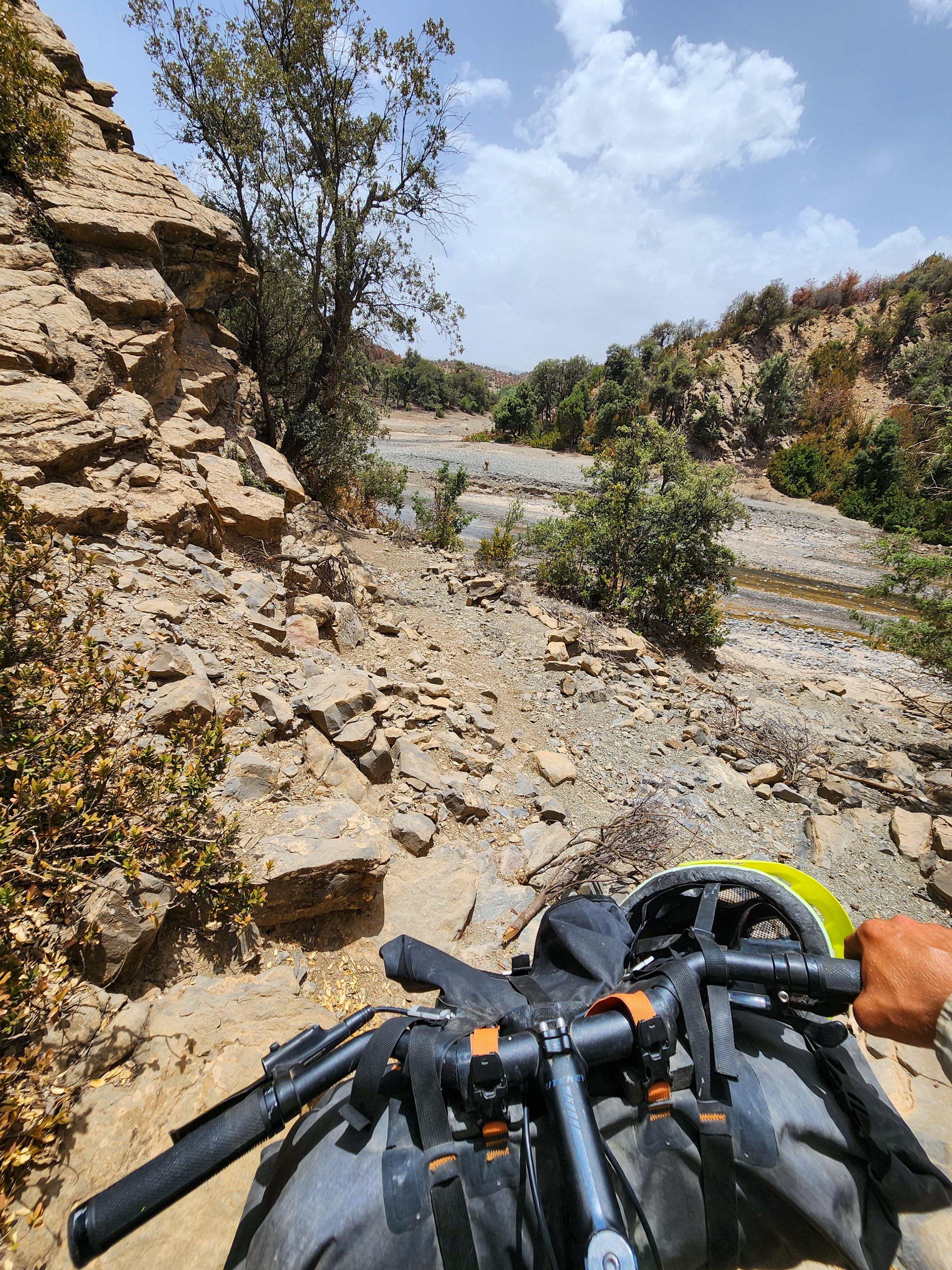
When Komoot tells you it’s a “road” for gravel bikes
Well, while cycling in the Moroccan mountains, komoot led me over some donkey trails.
I checked the map. It was supposed to be a road. A full white line on the app.
I hiked-my-bike for 6 km but it was still very nice!
Komoot uses [OpenStreetMap](https://www.osm.org), which is community driven. So please create an account with OSM and edit the stretch from ‘road’ to ‘trail’ if you don’t want others to have the same experience 🙂
BZab_ on
That’s why updating OSM with the accurate data is important. So many services enjoy selling the free data, but so few are interested in supporting the maintenance.
TheGrinchWrench on
Still better than being at work
java_dude1 on
Looks legit to me 😂
cryptoricky85 on
How have u found Morocco for touring/camping
java_dude1 on
Reminds me of the time kamoot said there was a trail that went through some farmers house. There might have been an exit there but the dog said otherwise…. nothing like impromptu interval training.

7 Comments
Komoot uses [OpenStreetMap](https://www.osm.org), which is community driven. So please create an account with OSM and edit the stretch from ‘road’ to ‘trail’ if you don’t want others to have the same experience 🙂
That’s why updating OSM with the accurate data is important. So many services enjoy selling the free data, but so few are interested in supporting the maintenance.
Still better than being at work
Looks legit to me 😂
How have u found Morocco for touring/camping
Reminds me of the time kamoot said there was a trail that went through some farmers house. There might have been an exit there but the dog said otherwise…. nothing like impromptu interval training.
If you ain’t hiking, you ain’t biking.